Dolomiti UNESCO Official Regional Hub
Review Misurina toll road status, reserve bus shuttle slots, and check opening dates for alpine refugios (Auronzo, Lavaredo, and Locatelli).
Field Gallery & Topography
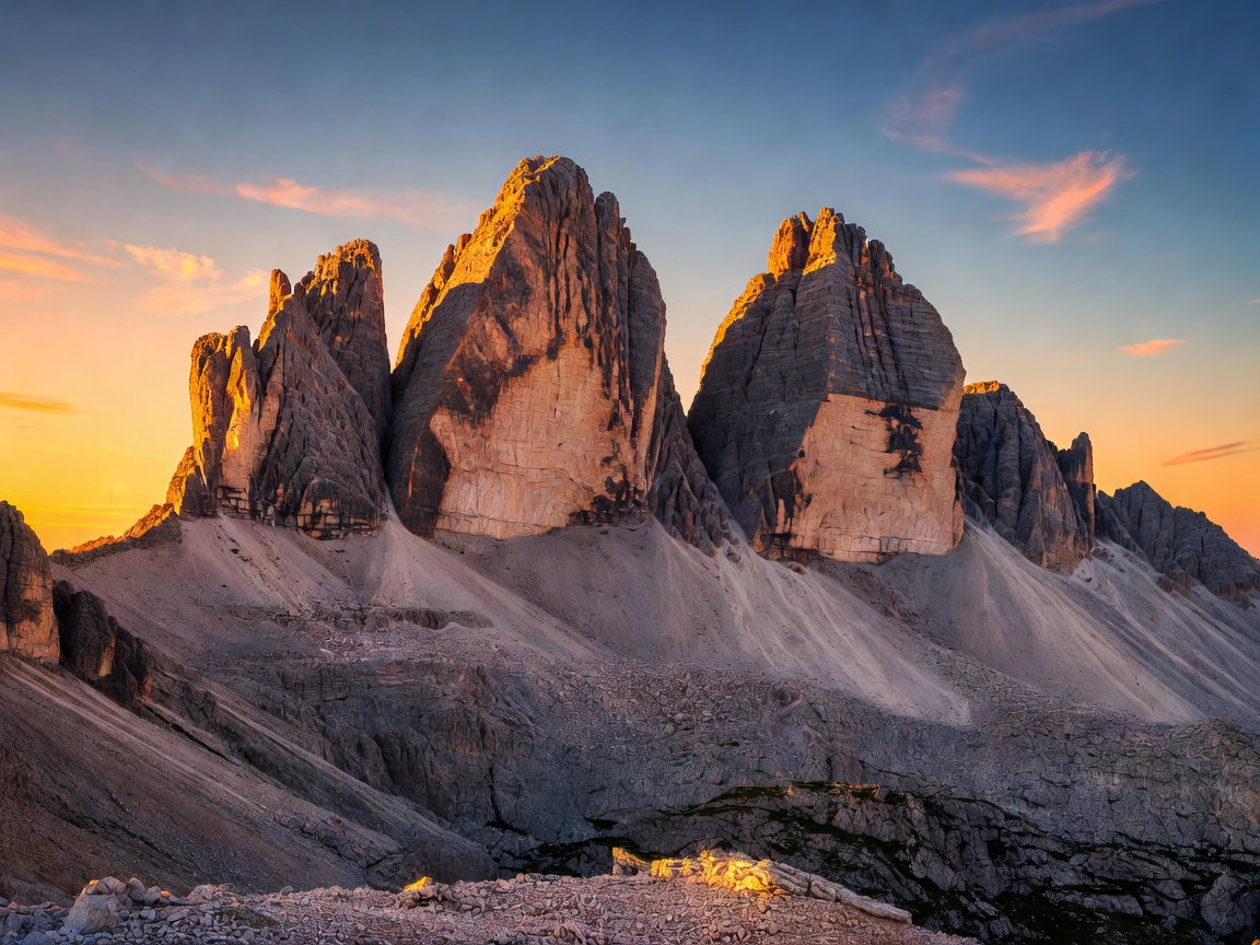
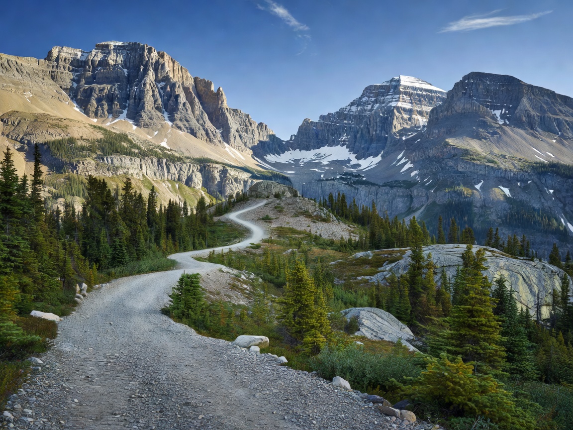
Verified Trail Specifications
| Primary Expedition Route | Tre Cime Panoramic Loop (Trail 101 to Trail 105 via Forcella Lavaredo) |
|---|---|
| Total Trail Distance | 10.3 km (6.4 miles circuit) |
| Vertical Elevation Gain | 420 meters (1,378 ft) |
| Peak Trail Elevation | 2,454 meters (8,051 ft) at Forcella Lavaredo pass |
| Expected Hiking Duration | 3.5 to 4.5 hours |
| Terrain Profile | Compacted limestone gravel, stepped scree trails, exposed military war ruins, connecting via ferrata cables |
| Alpine Wildlife | Alpine marmot, golden eagle, chamois, alpine chough, wallcreeper |
| Botanical Species | Edelweiss, stemless gentian, dwarf mountain pine (Pinus mugo), alpine aster |
| Road & Transit Regulations | Toll road from Misurina to Rifugio Auronzo fills by 8:00 AM in peak summer; mandatory bus transit or pre-booked parking slip required |
| Alpine Safety Advisory | Sudden lightning strikes frequent past 13:00; full via ferrata harness and helmet required if taking side tunnels on Mount Paterno |
Loop Profile (Rifugio Auronzo – Lavaredo – Locatelli – Langalm)
Verified Backcountry Testimonials
Expedition verified: August 2025
"The view of the northern sheer walls from the terrace of Rifugio Locatelli (Dreizinnenhütte) is unparalleled in the Alps. The classic loop is well-marked, but sturdy footwear is vital as scree underfoot can roll easily."
Expedition verified: July 2025
"We paired the classic circuit with the WWI historic gallery tunnel on Monte Paterno. Exploring historical bunkers carved directly into the limestone battlements with a headlamp made it unforgettable."